
The video clip is better resolution than what the "screenshot" depicts.
Click Here to Go Directly to Eagle Lake on Google Maps
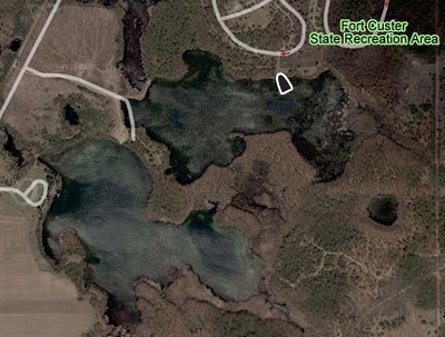
Located in the Fort Custer Recreation Area where a State Park entrance permit is required and State park rules apply.
Coordinates: Lat:42.329569, Lon:-85.319477
Surface Area: 194 Acres
Depths: Up to 10 feet
Ramp Description:
A hard-surfaced ramp, launching and retrieving of large boats may be difficult and not recommended. The site is signed.
Total Parking Spaces: 14
FISH SPECIES
• Black Crappie
• Bluegill
• Largemouth Bass
• Northern Pike
• Sunfish
• Yellow Perch
1 comment:
There is confustion about the Eagle lakes. The image you show here does not match the current Google satellite image for the Eagle lake at Fort Custer. Even the DNR bathymety map doesn't match the current aerial image of the lake. Where did you obtain the 194 acre size? Although I don't believe the lake is the reported 73 acres, I have been unable to find a definite modern value.
Post a Comment